Supporting Sustainable Groundwater Management
A voluntary platform for farmers and landowners to register fallowed or repurposed lands, providing documentation and transparency across groundwater basins.
Simple Enrollment Process
Submit Application
Create an account and start enrollment online. Complete self-certification, add your contact information, and designate one or more authorized representatives. Your progress is saved as you go.
Register Fields
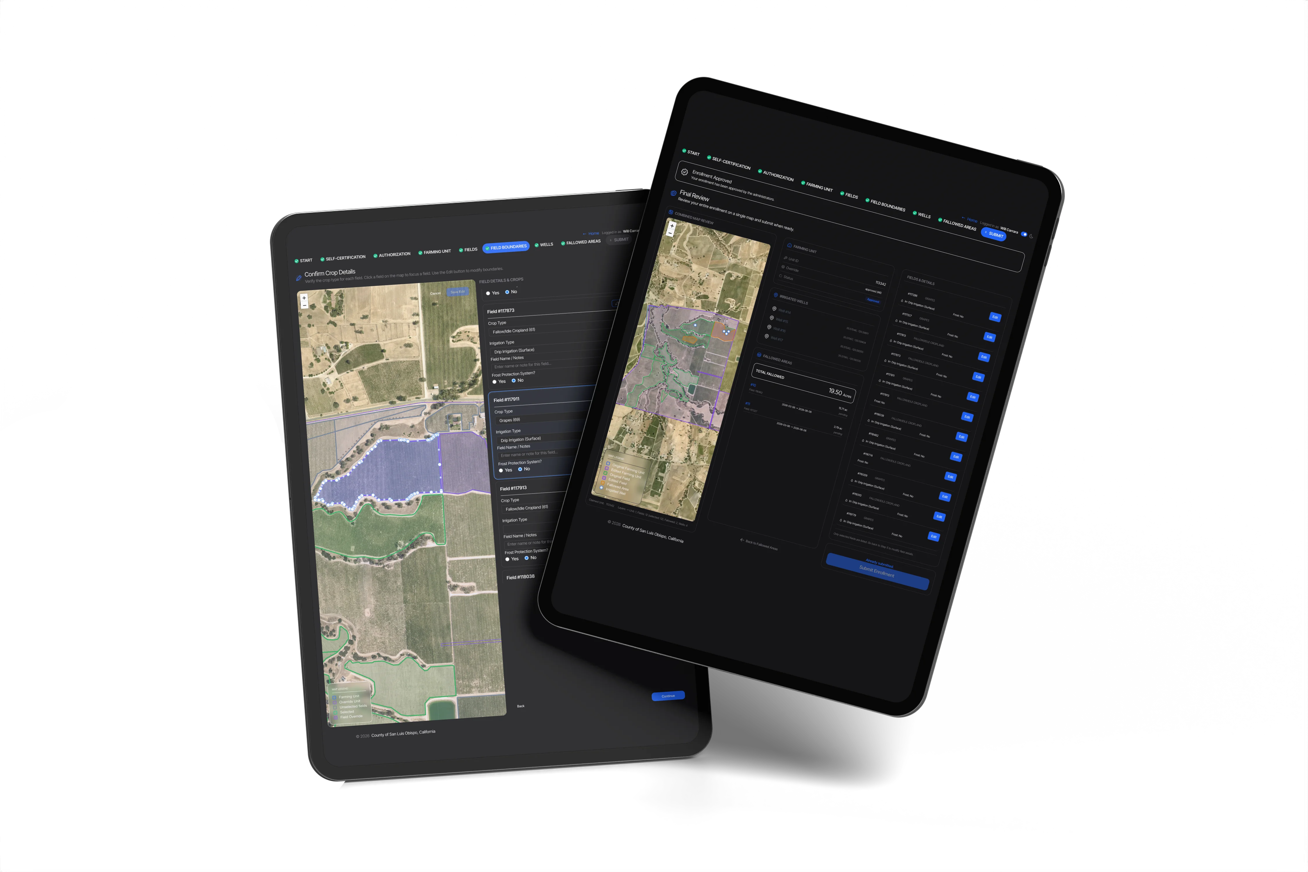
Use the map-first interface to claim your farming unit, add crop and irrigation details, mark wells, and draw fallowed areas. Request boundary corrections as needed, and our team will review them while you continue working.
View Data
Access monthly ET data, precipitation, crop mapping, and other relevant basin datasets for your enrolled fields. Fallowed areas are screened automatically.
Multi-Benefit Irrigated Land Repurposing
The Registry supports implementation of the MILR Program within the Paso Robles Area Groundwater Subbasin. The program encompasses two primary categories of action:
Groundwater Sustainability Measures
Irrigation optimization, adaptive cultural practices, extended fallowing, and dry farming.
Land Repurposing Measures
Conservation cover, habitat restoration, managed grazing, and groundwater recharge.
Ready to Participate
Get started by enrolling your fallowed or repurposed land, or explore data and insights.